

Last updated: October 22, 2026
Blue Ridge is a small mountain town in Fannin County, Georgia, about two hours north of Atlanta, and it works because everything clusters around five anchors: a scenic railway, a trout river, a 3,290-acre lake, a trail system, and a working apple orchard. Most visitors go wrong by trying to sample all five in one day. Pick one anchor per half-day instead, let downtown fill the gaps, and Blue Ridge stops feeling like a checklist and starts feeling like a place. This guide covers where the town is, how the anchors fit together, and how to choose between a day trip and a weekend.
Where Is Blue Ridge, Georgia?
Blue Ridge sits in the North Georgia mountains at the edge of the Chattahoochee National Forest, at roughly 1,750 feet above sea level. It runs on Eastern Time, like all of Georgia, so there is no time-zone math coming from Atlanta or Chattanooga. From Atlanta it is about 90 to 100 miles and typically 1 hour 45 minutes to 2 hours 15 minutes of driving: I-75 north to I-575 (exit 268), then GA-515 the rest of the way in. From Chattanooga it is roughly 85 miles and about 1 hour 45 minutes via I-75.
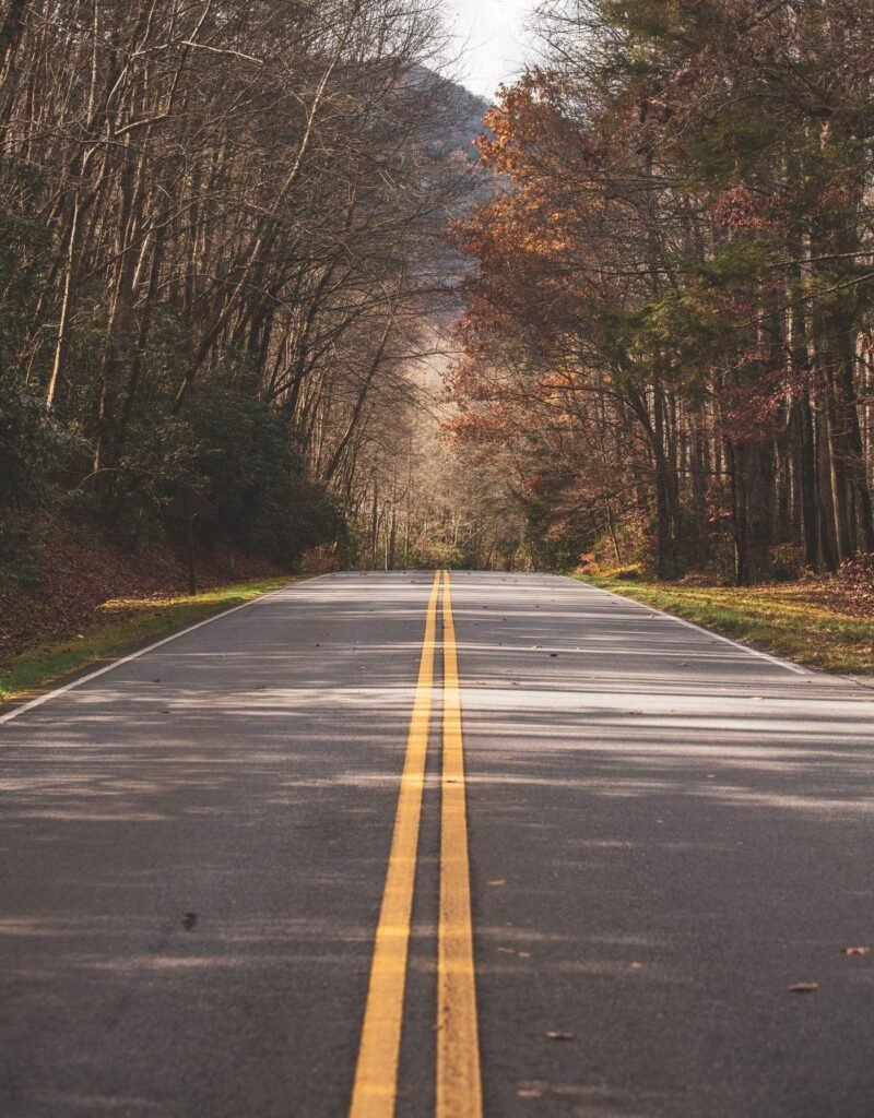
You need a car. Downtown Blue Ridge is walkable once you park, but the lake, the trailheads, and the orchard are all short drives in different directions, and public transit to the area is effectively nonexistent. The elevation keeps the town noticeably cooler than Atlanta, which is the whole point in summer, but bring a layer for open-air train cars and lake evenings even in July.
Pick Your Anchor: Five Ways to Spend a Day
| Anchor | Best for | Time it really takes |
|---|---|---|
| Blue Ridge Scenic Railway | Relaxed sightseeing, fall color | Half day (4-hour trip) or 2 hours (express) |
| Toccoa River | Trout fishing, paddling, tubing | Half day to full day |
| Lake Blue Ridge | Swimming, boating, paddling | Full day |
| Aska Trail System | Hiking and mountain biking | 2 hours to half day |
| Mercier Orchards + downtown | Families, fall trips, easy days | Half day |
The Railway: 26 Miles Along the Toccoa
The Blue Ridge Scenic Railway is the town’s signature outing, and the depot on Depot Street is where most first days start. The train runs 26 miles round trip along the Toccoa River to the twin towns of McCaysville, Georgia and Copperhill, Tennessee. The full trip takes about four hours, including a layover of roughly two hours in McCaysville; a shorter express run of about two hours skips the layover. Coaches are open-air or climate-controlled, and the four-hour trips offer a premier car.
The layover has the photo everyone brings home: a blue line painted down the middle of Main Street in McCaysville marks the Georgia–Tennessee state line, so you can stand in two states at once with a coffee in hand. Fares vary by car and season, so check current prices on the railway’s site before you go, and for fall foliage trips, book three to four weeks ahead. The best color rides sell out, and the open-air cars in late October are cold enough that the layer advice above stops being theoretical.
The River and the Lake
The Toccoa River is the cold water running under everything here. Below Blue Ridge Dam it is a tailwater trout stream, stocked by Georgia DNR with rainbow and brown trout, and it flows north through McCaysville until, at the Tennessee line, it changes its name to the Ocoee River, the same water that hosted the 1996 Olympic whitewater events. The Toccoa River Canoe Trail runs 13.8 miles down to Sandy Bottoms Recreation Area for paddlers. One safety rule matters more than any other: when TVA generates power at the dam, the river rises fast. Check the dam release schedule before you wade or float, and if you hear sirens, get out of the water immediately. A Georgia fishing license is required; check current DNR rules for trout privileges before you cast.
Lake Blue Ridge is the river held back: a 3,290-acre TVA lake, about 11 miles long, mostly wrapped in national forest. The dam was finished in 1930 and TVA took it over in 1939. Morganton Point Recreation Area is the lake’s developed front door, with the swim beach, campground (tent and RV sites, reservable through Recreation.gov), boat ramp, and showers. Two practical notes: lake levels drop in winter for flood storage, so a shoreline that swims in July may be mud in January, and day-use arrangements change, so confirm fees and open gates before you haul a kayak down. Our North Georgia trails guide covers the shoreline and forest hikes around the lake in more depth.
Trails: Aska, the Benton MacKaye and Fall Branch Falls
The Aska Trail System is the local workhorse: 17 miles of multi-use trails off Aska Road, less than ten miles from downtown, shared by hikers and mountain bikers. Individual trails run from about a mile to just over five, easy to strenuous, with around 1,700 feet of elevation change across the system. Start with Long Branch Loop (about 2 miles) for a sampler or Flat Creek Loop (about 5 miles) for a half-day. Blazes are worth learning before you go: lime-green rectangles mark hiking trails, yellow diamonds mark bike trails, and white diamonds mark the Benton MacKaye Trail where it coincides with Aska paths. The BMT is a 282.5-mile long-distance trail in its own right, and walking even a piece of it gives Aska a bigger-mountain feel. Trailheads are free and open year-round, with no water and no restrooms, so carry both solutions with you.
Two add-ons round out the hiking menu. Fall Branch Falls is a double cascade reached by an easy trail of about a mile round trip, the best short waterfall walk near town. And the 270-foot Swinging Bridge over the Toccoa River, billed as the longest swinging bridge east of the Mississippi, hangs at the end of a forest road off the BMT corridor. It sways exactly as much as the name promises.
Mercier Orchards and Downtown
Mercier Orchards has been growing apples outside Blue Ridge since 1943, and it is still family-run, now in its fourth generation: some 300 acres and more than 40 apple varieties. In season (U-pick typically runs from late August to the end of October, with strawberries, blueberries, blackberries, and peaches in their own seasons) tractor rides run out to the rows, and the market and bakery do the heavy lifting the rest of the year: fried pies, apple cider doughnuts, apple butter, fresh cider. Mercier also makes hard cider, and points out that it is the only Georgia orchard that grows, presses, ferments, and cans its own. Hours shift with the seasons, so check before you drive out.
Save downtown for late afternoon and evening. Main Street is a compact run of galleries, outfitters, and restaurants around the old depot, with City Park as its green front yard. One soft warning from repeat visitors: many boutiques close early, even on weekends, so if shopping matters, arrive before 5 p.m. and let dinner run late instead of the other way around.
One Day or a Full Weekend?
A day trip from Atlanta works if you are disciplined: one anchor in the morning (the express train, or Aska’s Long Branch Loop), lunch and Main Street, and one stop on the way out of town. You will leave with a list of what to come back for. A weekend is the better shape for Blue Ridge: the four-hour railway and the layover on day one, the lake or the river on day two, Mercier on the way home, and no one watching the clock on GA-515. First trip, in fall, with no strong preference? Take the weekend and book the train first. Everything else in this town flexes around those four hours.
Frequently Asked Questions
Where is Blue Ridge, Georgia?
In Fannin County in the North Georgia mountains, at the edge of the Chattahoochee National Forest, about 90 miles north of Atlanta via I-75, I-575, and GA-515.
How far is Blue Ridge, Georgia from Atlanta?
About 90 to 100 miles, typically 1 hour 45 minutes to 2 hours 15 minutes of driving depending on Atlanta traffic. It is an easy day trip and a better weekend.
What is Blue Ridge, Georgia known for?
The Blue Ridge Scenic Railway along the Toccoa River, trout fishing on the Toccoa, Lake Blue Ridge, the Aska Trail System, and Mercier Orchards, growing apples since 1943.
Can you swim and boat on Lake Blue Ridge?
Yes. Morganton Point Recreation Area has a swim beach, boat ramp, and campground. Lake levels drop in winter for flood storage, and fees and hours change, so check conditions before you go.
Do you need a car in Blue Ridge?
Effectively, yes. Downtown is walkable, but the lake, trailheads, orchard, and river accesses are drives in different directions, and public transit options are extremely limited.
What is the weather like in Blue Ridge, Georgia?
Mountain weather: cooler than Atlanta in every season thanks to the roughly 1,750-foot elevation, with cold mornings even in summer. Check the forecast before you visit and pack a layer for the train and the lake.
When is the best time to visit Blue Ridge?
Fall, for foliage and apple season (book the railway weeks ahead). Summer suits the lake and river, spring suits the trails and waterfalls, and winter is the quiet season with the lake drawn down.


