

Last updated: October 14, 2026
Asheville is a small city in the mountains of western North Carolina, set in a valley where the Blue Ridge Mountains meet the Great Smoky Mountains. This guide pins it on the map, covers the fastest driving routes from nearby cities, lists the airlines flying into Asheville Regional Airport, and explains how to get from the city out to the trailheads.
What State Is Asheville In?
Asheville is in North Carolina, in the far western part of the state. It is the county seat of Buncombe County and the largest city in Western North Carolina, a region locals call the “Land of the Sky.” On a US map, find where North Carolina’s western tip meets Tennessee: Asheville sits in that mountainous corner.
Asheville on the Map: Mountains, Rivers, and Region
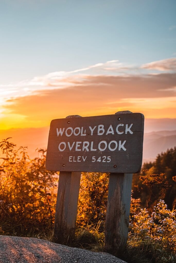
Asheville sits where two mountain systems meet: the Blue Ridge rise to the east and the Smokies to the west. The city lies in the French Broad River valley, at the meeting of the French Broad and Swannanoa rivers, at about 2,130 feet of elevation.
That valley setting surrounded by high ridges is exactly why the area collects so many trails, waterfalls, and scenic overlooks within a short drive of downtown. A few orientation facts worth knowing:
- Region: Western North Carolina, between Pisgah National Forest to the east and the Smokies to the west.
- Elevation: about 2,130 feet in the city, with nearby peaks rising past 6,000 feet.
- Time zone: Eastern (the same as New York and Atlanta).
- Airport code: AVL for Asheville Regional Airport.
For getting your bearings, think of Asheville as a triangle: downtown sits in the center, the Biltmore Estate spreads south of it, and the airport lies further south in Fletcher. The Blue Ridge Parkway arcs along the east side of town, and most trailheads branch off it or off the highways heading south toward Brevard and west toward the Smokies.
The Blue Ridge Parkway itself is the 469-mile scenic road run by the National Park Service. For hikers, it matters more than any street address: the Parkway is effectively Asheville’s trailhead highway, with dozens of trail pull-offs within 30 minutes of downtown.
How to Get to Asheville, NC by Car
Most visitors drive. Asheville sits at the junction of two interstates: I-40 runs east-west through the city (connecting Knoxville to the west and Charlotte and Raleigh to the east), and I-26 runs northwest-southeast (connecting Asheville to Greenville, SC and Johnson City, TN). Typical nonstop drive times:
| From | Distance | Drive time | Main route |
|---|---|---|---|
| Charlotte, NC | About 130 miles | About 2 hours | I-40 W |
| Greenville, SC | About 62 miles | About 1 hour 15 min | I-26 W / US-25 N |
| Knoxville, TN | About 120 miles | About 2 hours | I-40 E through the Pigeon River Gorge |
| Atlanta, GA | About 208 miles | About 3.5 hours | I-85 N, then I-26 W |
Times are approximate for nonstop driving in normal conditions. Mountain weather, leaf-season traffic in October, and construction can all add time, so check a live route planner on the day you travel.
Which route is easiest? From Charlotte it is a simple, mostly flat interstate run until the last 30 minutes, when I-40 starts climbing. From Greenville, SC it is the shortest drive of the four and a good option if you find a cheaper flight into GSP. The Knoxville approach threads the Pigeon River Gorge: winding, truck-heavy, and scenic, so don’t rush it. From Atlanta, expect the last hour on I-26 to climb steadily into the mountains, which is a beautiful introduction if your brakes are in good shape.
What Airlines Fly Into Asheville, NC?
Asheville Regional Airport (AVL) sits in Fletcher, just south of the city. The airport lists five airline partners: Allegiant, American, Delta, JetBlue, and United, with nonstop service to 27 destinations around the country, according to Asheville Regional Airport, making it one of the busiest regional airports in the Southeast.
Each airline plays a different role. Allegiant runs the leisure network: nonstops to Florida beaches, Las Vegas, and other vacation cities, often at the lowest fares. American, Delta, and United connect through their hubs (Charlotte, Atlanta, Chicago, Newark), which is what you want if you’re coming from anywhere without a nonstop. Schedules at regional airports shift with the seasons, so confirm your exact route on the airport’s website (flyavl.com) before booking around it.
The airport is small and easy to navigate. Rental car counters sit in the terminal, and the airport’s site notes ride-app pickups (Uber and Lyft) plus parking shuttles at the curb. From the terminal to downtown Asheville is a straightforward drive of roughly 20 minutes.
Flying Into Charlotte or Atlanta Instead?
Sometimes flying into a bigger airport and driving is cheaper or better timed than AVL. Charlotte Douglas (CLT) is about 2 hours east on I-40, and Hartsfield-Jackson Atlanta (ATL) is about 3.5 hours south. Both have far more flight options and often lower fares. The tradeoff is the drive: if you land after dark, mountain interstates are tiring, so weigh a cheap fare against arriving exhausted. For most hiking trips, flying direct to AVL and picking up a rental car is worth the premium.
Can You Visit Asheville Without a Car?
It’s difficult. Asheville has no passenger rail service, intercity bus options are limited, and the local bus system won’t reach any trailhead. You can manage downtown and the Biltmore area with buses and rideshares, but the hiking, waterfalls, and Parkway all require a car.
If you’re flying in, rent a car at AVL; it’s the single best investment you’ll make on the trip. Rideshares can cover the airport-to-downtown run, but per-ride costs add up fast once you start heading to trailheads, and cell service drops in the mountains, which makes hailing a return ride unreliable.
Getting From Asheville to the Trailheads
This is where Asheville earns its reputation as a hiking basecamp. Most of the region’s best trailheads sit an easy drive from downtown, all on paved roads that any rental car can handle. Approximate times from the city center below:
- Blue Ridge Parkway trailheads (Craggy Gardens, Mount Pisgah): about 20 to 30 minutes via the Parkway entrances east of town.
- Looking Glass Falls and Pisgah National Forest: about 45 minutes south on US-276 toward Brevard.
- Mount Mitchell State Park: about an hour northeast via the Parkway.
- Great Smoky Mountains National Park (Oconaluftee entrance): about an hour west on I-40.
One warning that applies to all of them: trailhead parking lots fill early on weekends, especially in October. Aim to arrive before 9 a.m. for the popular spots, and never leave valuables visible in your car. In winter, check whether your trailhead sits on a Parkway section closed for ice before you set out. Our full breakdown of the 10 best hiking trails around Asheville, North Carolina includes trailhead and parking details for each hike.
Frequently Asked Questions
What state is Asheville in?
North Carolina. Asheville is the county seat of Buncombe County in the far western, mountainous part of the state, near the Tennessee border.
Is Asheville in the mountains?
Yes. The city sits at about 2,130 feet in the French Broad River valley, with the Blue Ridge Mountains to the east and the Great Smoky Mountains to the west. Nearby peaks top 6,000 feet.
Which airport do you fly into for Asheville, NC?
Asheville Regional Airport (AVL) in Fletcher, just south of the city. It is served by Allegiant, American, Delta, JetBlue, and United with nonstops to 27 destinations.
How far is Asheville from Charlotte?
About 130 miles, roughly a 2-hour drive west on I-40 with no stops.
Do I need a car in Asheville?
For the city itself you can manage without one, but for hiking, waterfalls, and the Blue Ridge Parkway a car is essential. Rent one at AVL if you’re flying in.
What time zone is Asheville, NC in?
Eastern Time, the same as New York, Atlanta, and Charlotte.
Final Thoughts
Asheville’s location is its superpower: a real small city with restaurants, breweries, and music, sitting in a mountain valley with world-class hiking in every direction. Once you know where it sits on the map and how to get here, the only hard part is choosing which trail to hike first. Start with our guide to the 10 best hiking trails around Asheville, North Carolina and plan outward from there.


